The 49th Parallel Project
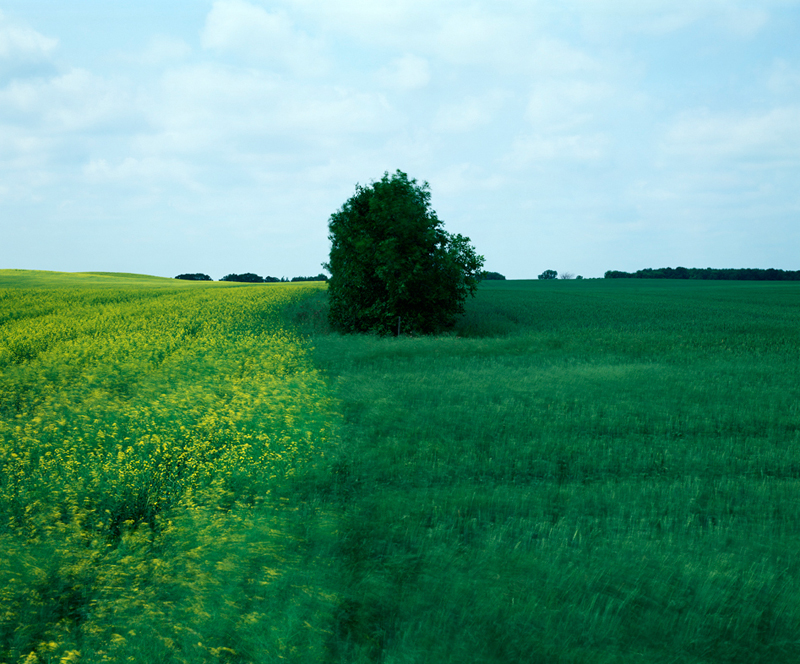
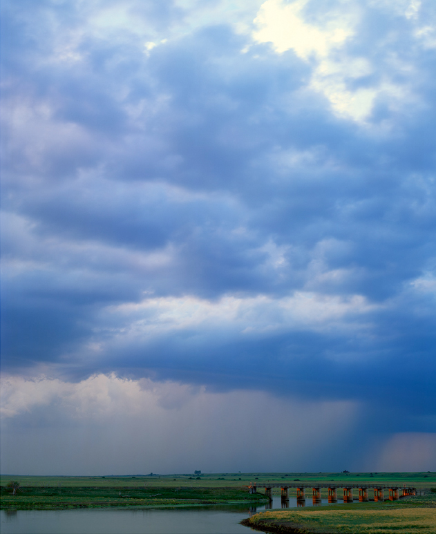
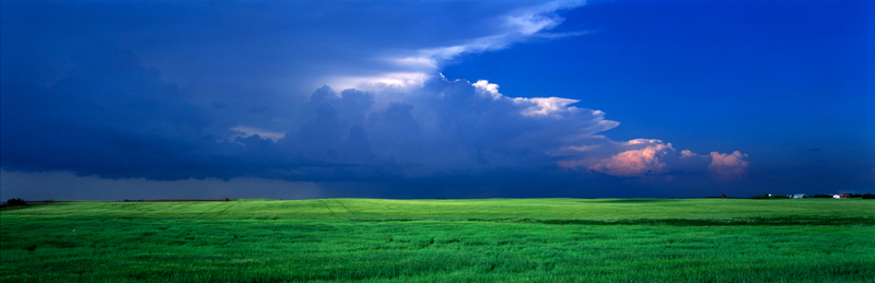
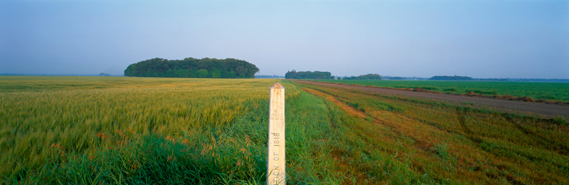
Canada’s border with the USA runs west of Lake of the Woods to the Pacific Ocean along the 49th Parallel. Politicians in the 19th Century used this latitude, drawn only on a map, to divide a landscape that otherwise had no geographic border. This border, undefended and indistinct except for the occasional post, has helped to define Canada’s culture ever since it was finally surveyed from 1871 to 1874. Using the notes and photos of the surveyors, the 49th Parallel Project documents the product of the International Boundary Commission charged with the task of producing this survey.
On display at The Peterborough Regional Health Centre Art and Healing Gallery from April 1st to 30th, 2014 as part of SPARK Photo Festival.